Understandwhat comes next.
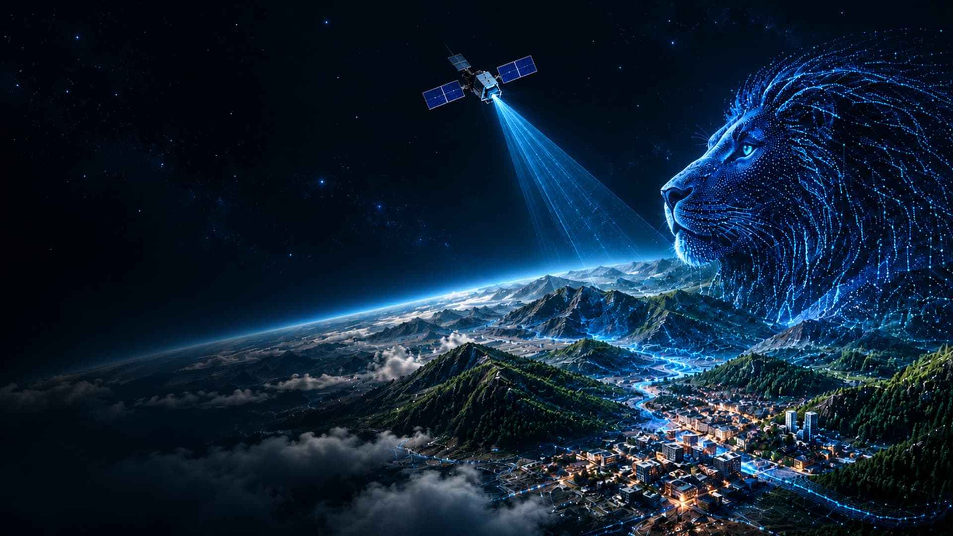
LiDAR, satellite and AI turn changing landscapes into actionable intelligence.
The ground is moving.
For most of human history, the land changed slowly enough that we could live by memory. That is over.
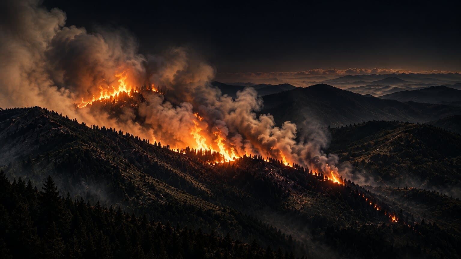
The fire is the symptom.The landscape decides the outcome.
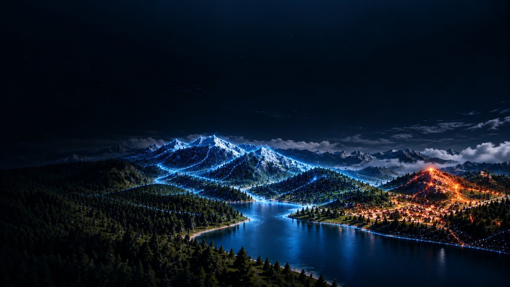
By the time smoke is visible, it's already too late. LION understands the conditions across the landscape — before ignition.
Detection today
Is something burning?
LION
What happens next?
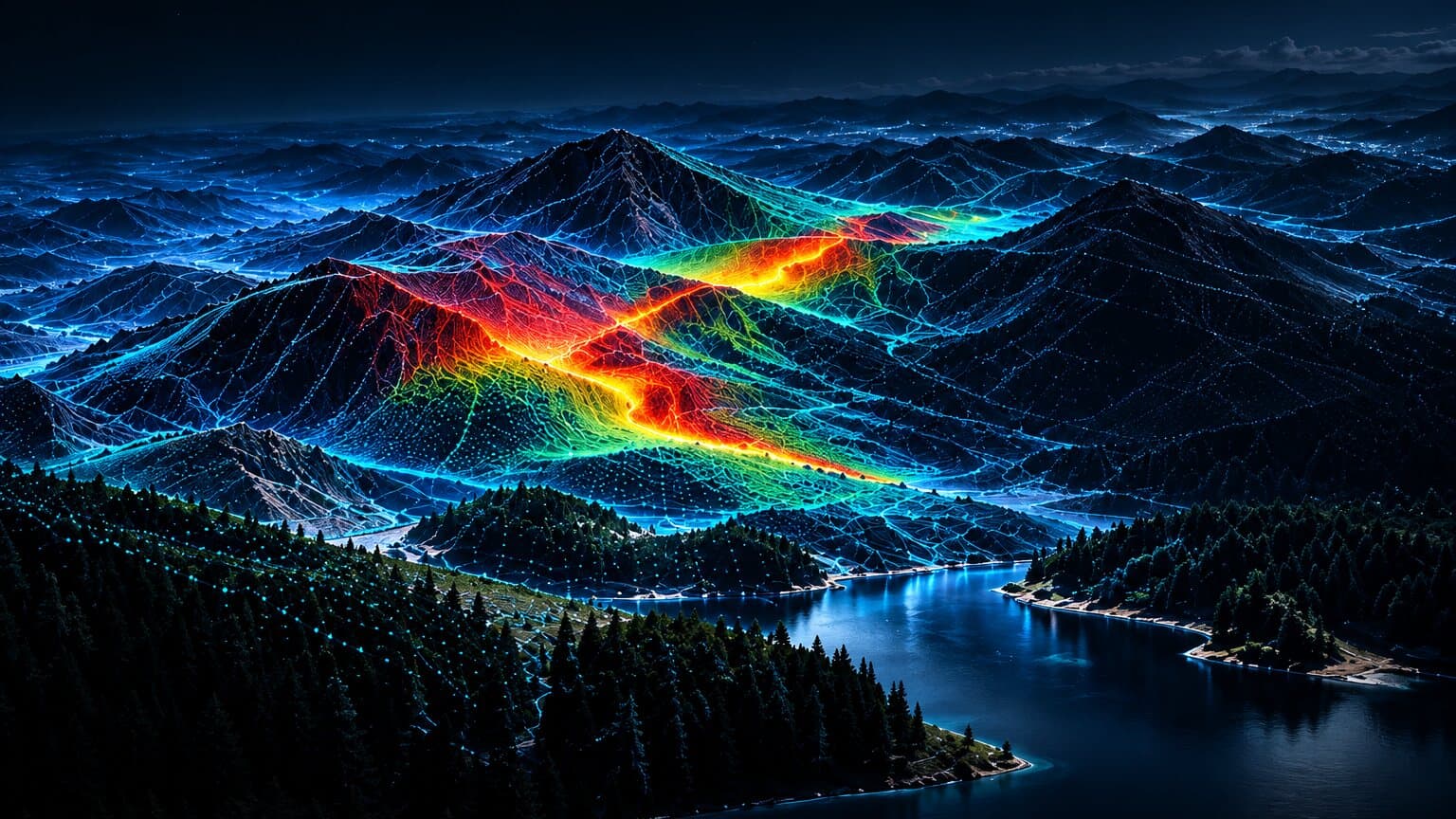
- Vegetation
conditions - Terrain
behaviour - Weather
patterns
Drag to compare
Three
technologies
changed
the equation.

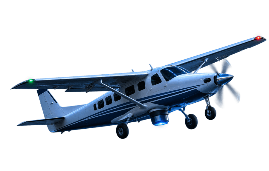
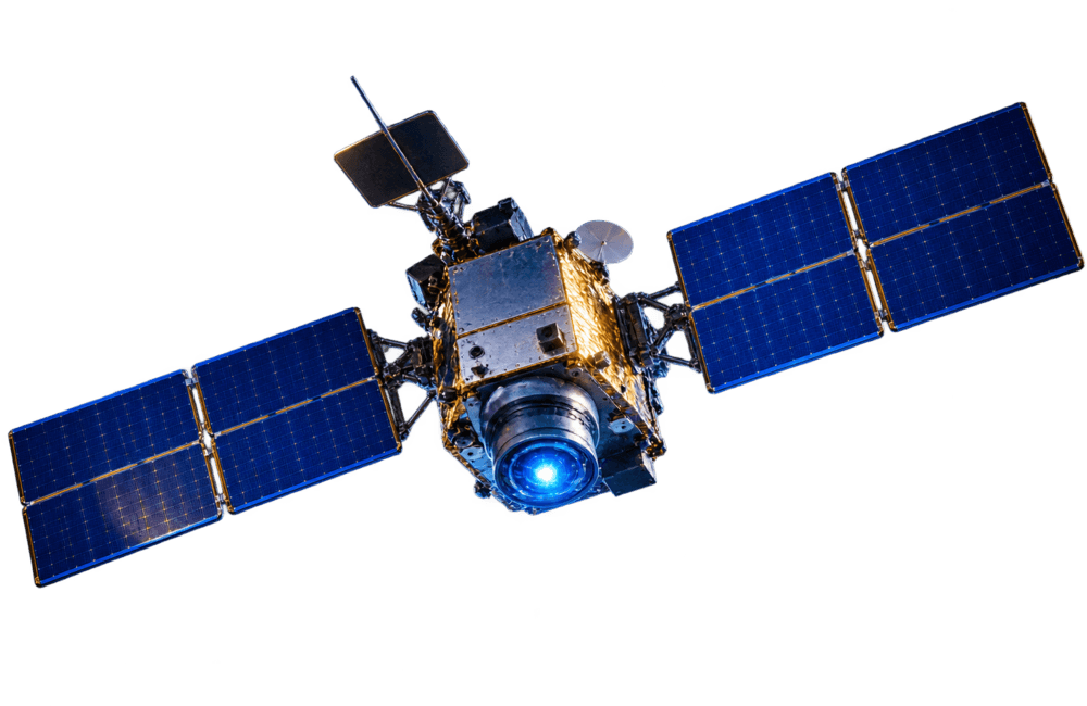
- LiDAR: Captures structure.
- Satellite: Tracks change.
- AI: Turns both into understanding.
See what
changes
the risk.
LION can identify the physical conditions driving exposure at an individual property.
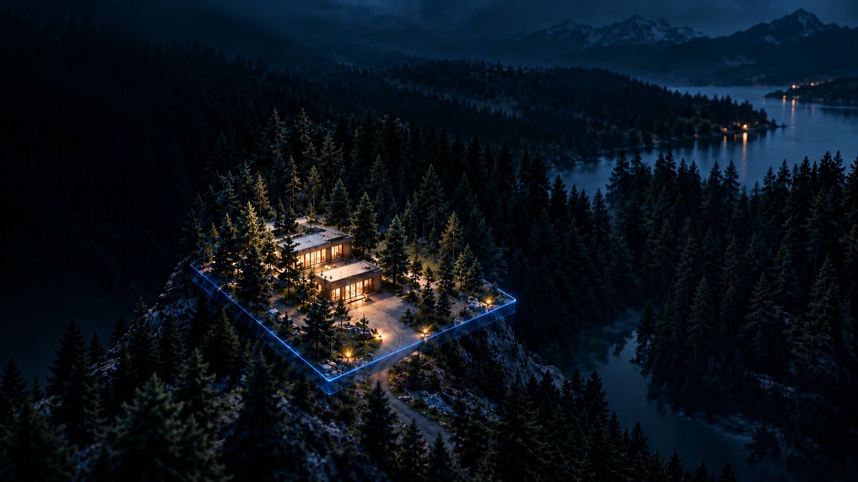
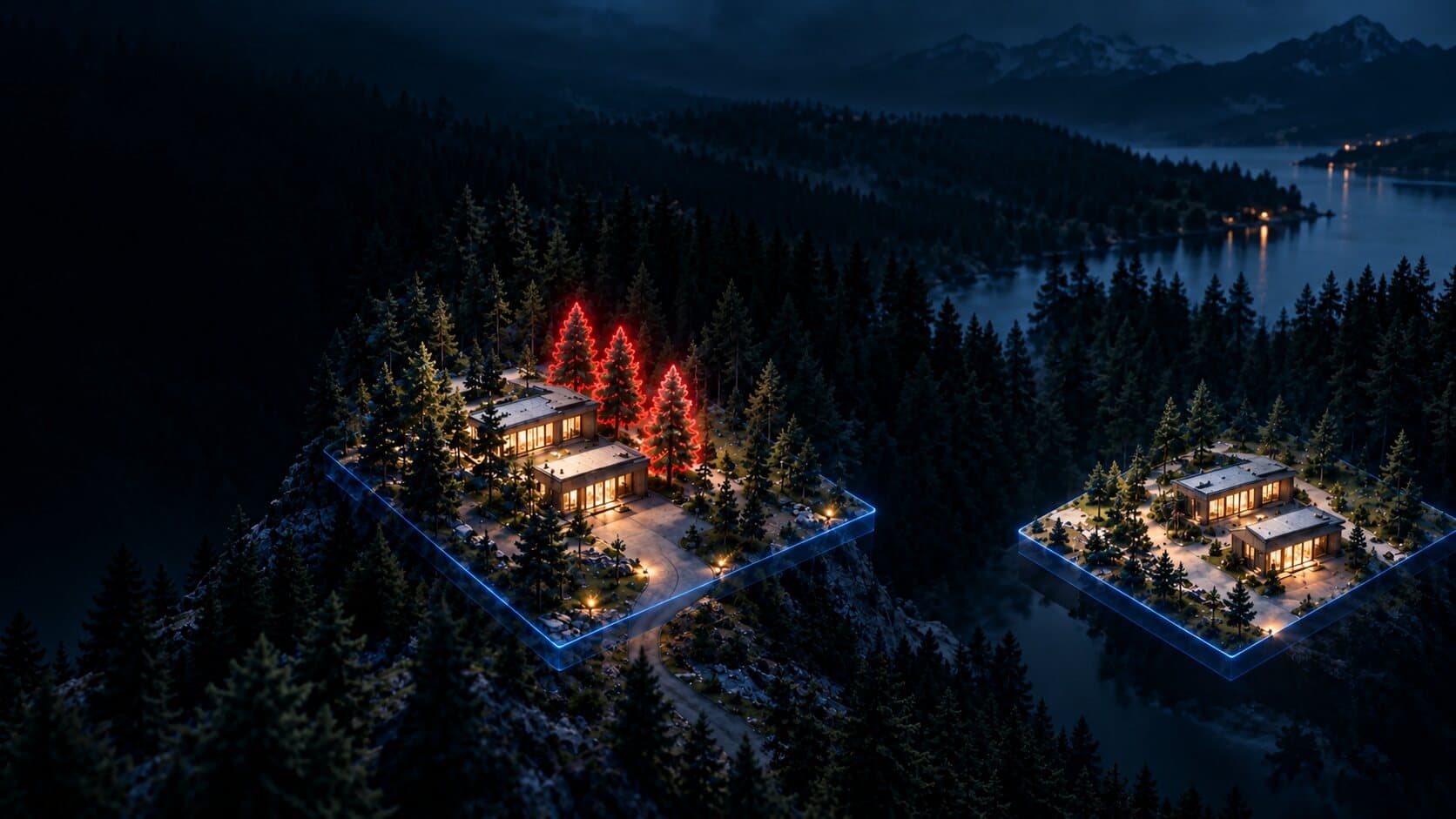
- LiDAR identifies 4 pines, 14 m tall, 6 m from the roof, with branches within 2 m of the ground.
- Remove these 4 trees, then rerun the model.
- Modeled exposure goes down.
The landscape
never
stands still.
Satellite observations detect change over time, keeping the model current as conditions evolve.
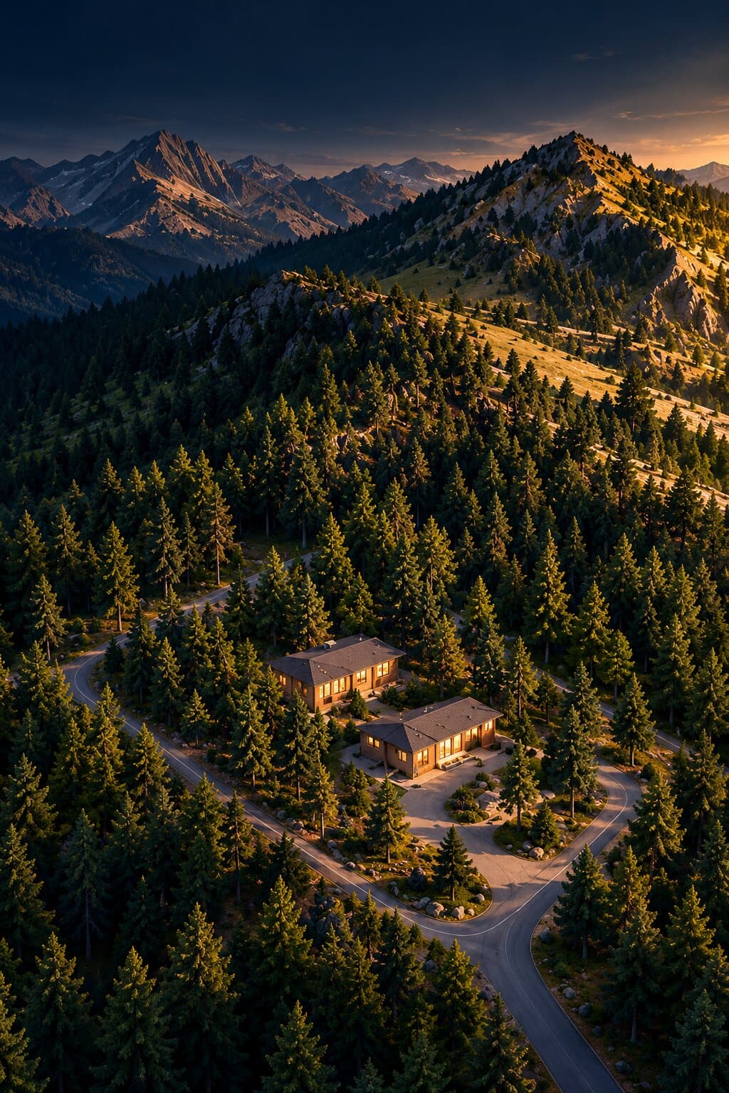 Observed
Current conditions
 Changed
Vegetation / development /
drying detected- Updated
Risk model refreshed
See what the landscape is made of.
LION measures the physical details that shape risk — from terrain and vegetation structure to the distance between fuel and assets.
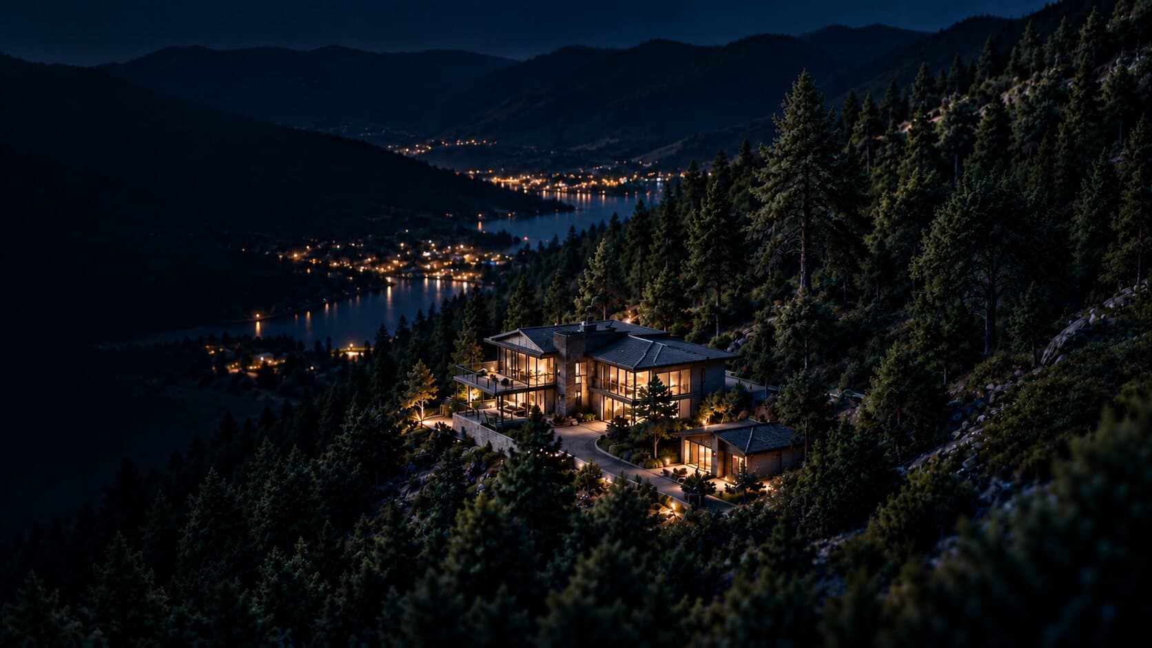
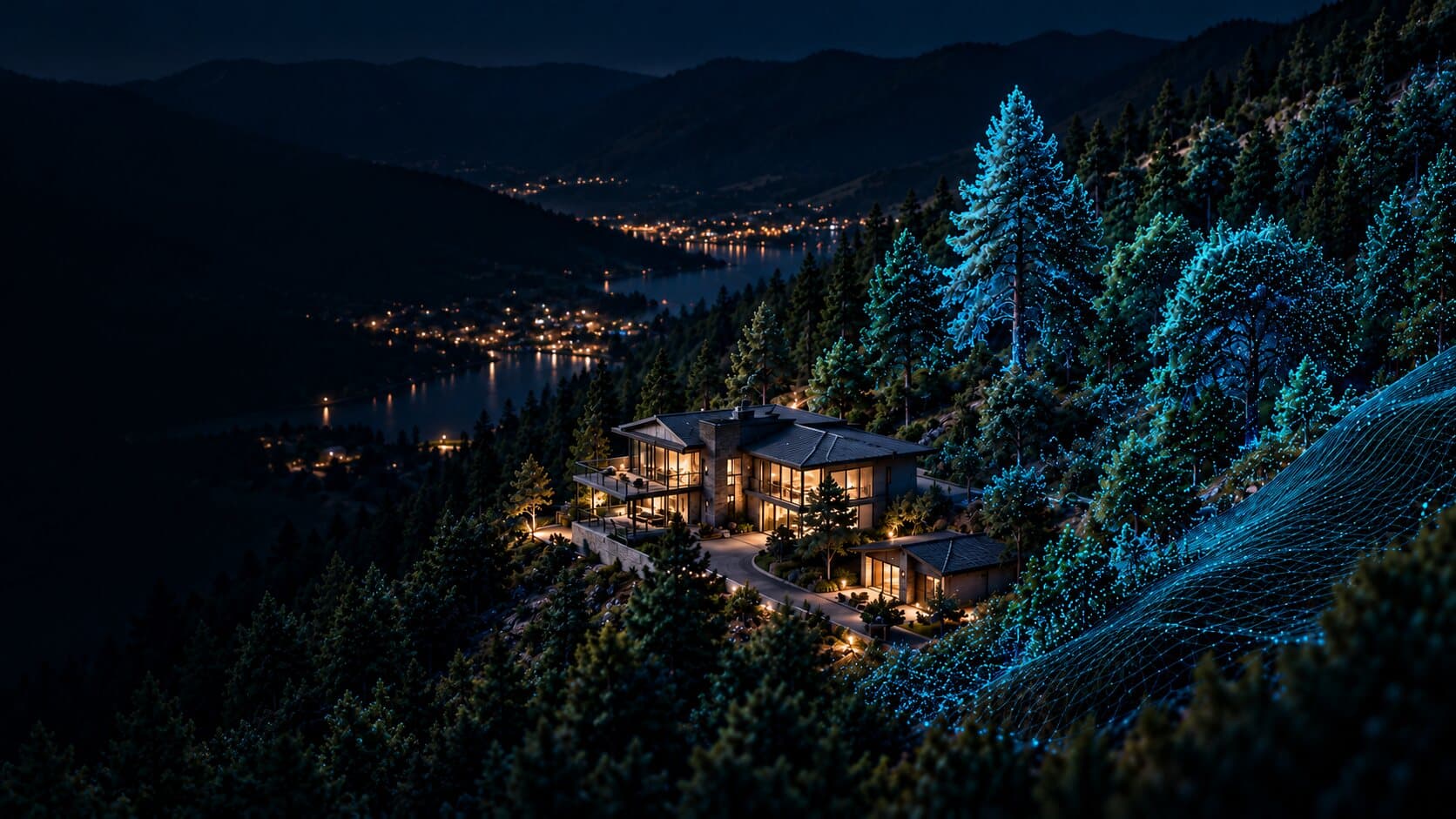
- Tree height
- Canopy density
- Distance to structure
- Slope
Know where
it goes next.
LION models how risk could move through time — revealing likely paths, exposed assets, and critical decision windows.

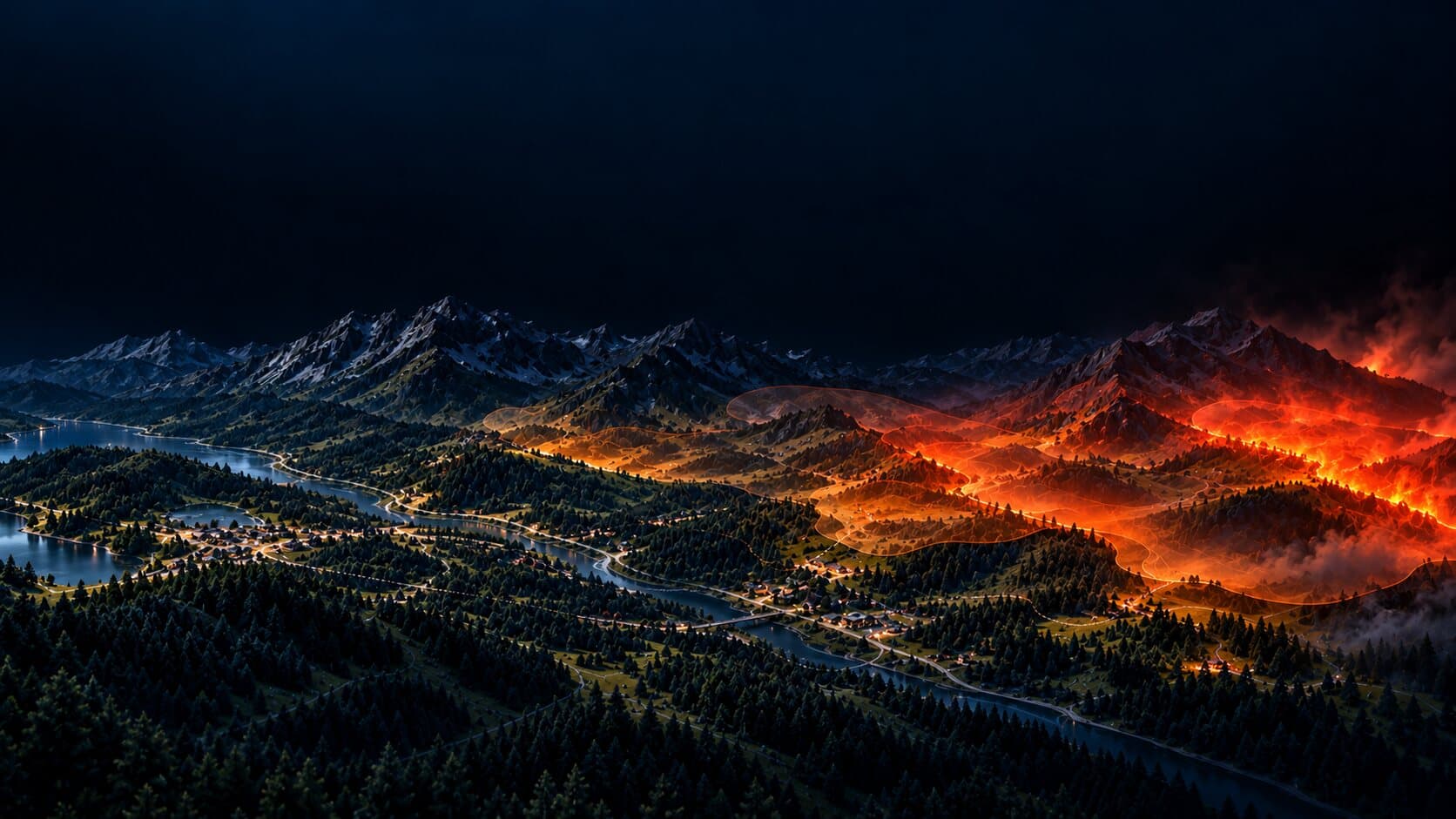
- Now: current conditions at the property.
- In 2 hours: the modelled spread reaches the near ridges.
- In 4 hours: the spread crosses the central valley.
- In 6 hours: the fire front reaches the far ridges.
Change the outcome
before it happens.
Test the intervention before work begins. Then verify what changed.
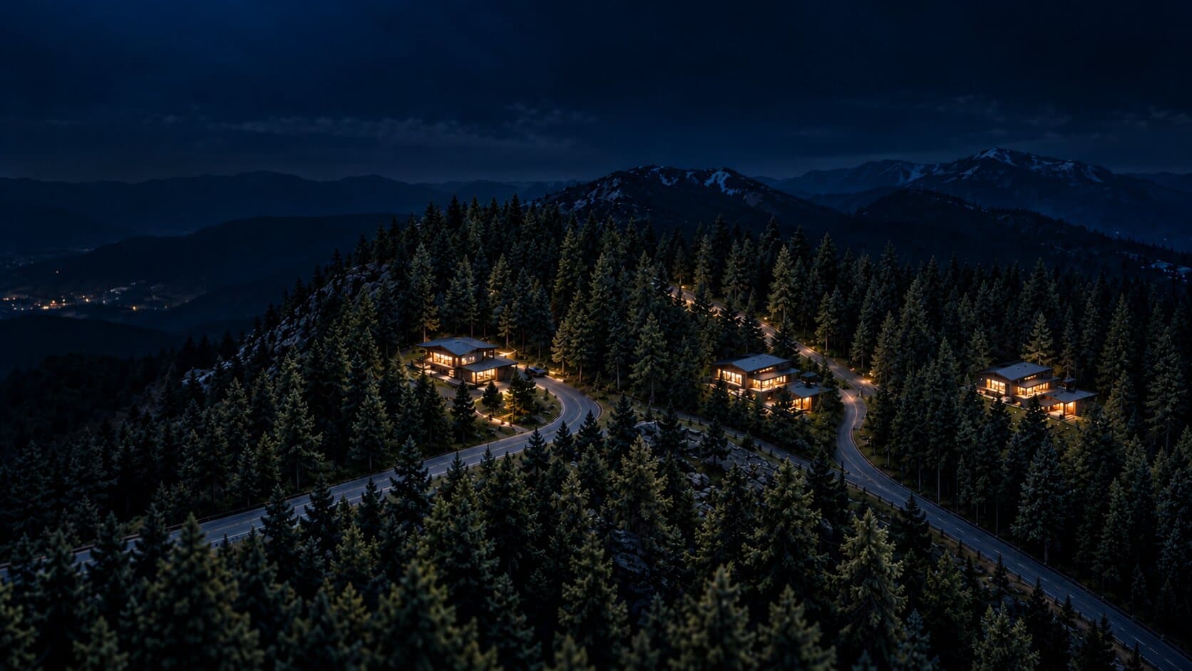
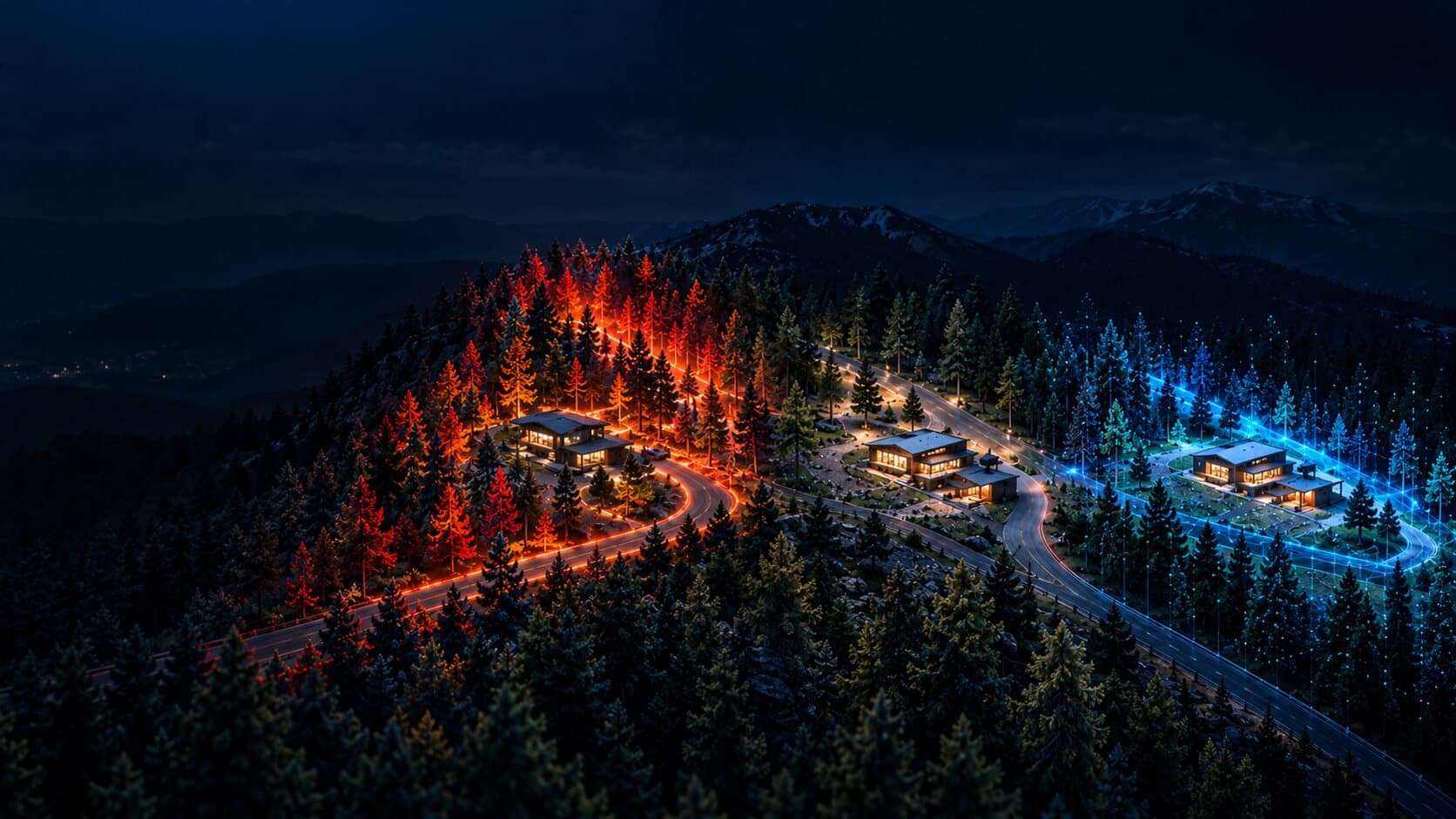
- Simulate: model how fire would behave at the property.
- Mitigate: clear defensible space around the buildings.
- Verify: satellite confirms the change. Risk reduced.
One model.
Every scale.
From a single property to an entire region, the same landscape model supports decisions at every level.
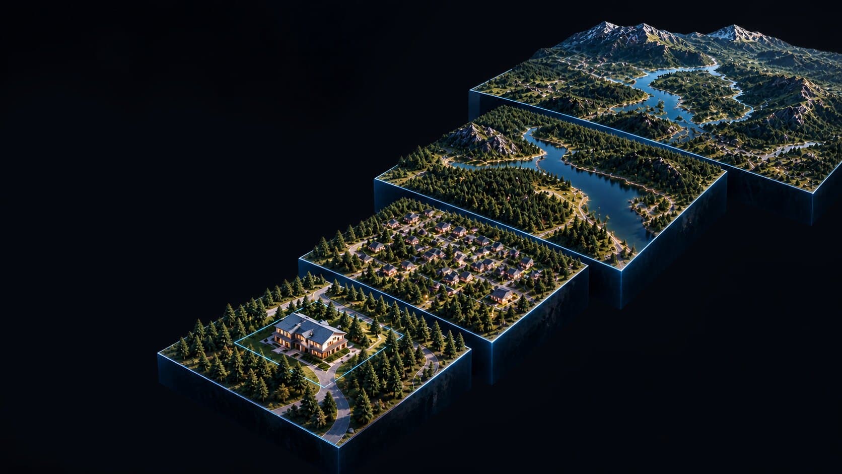
Property
Individual structures and assets
Community
Neighbourhoods and infrastructure
Landscape
Forests, watersheds and terrain
Region
Strategic planning and risk assessment
- Property: Individual structures and assets
- Community: Neighbourhoods and infrastructure
- Landscape: Forests, watersheds and terrain
- Region: Strategic planning and risk assessment
Built for the people
who carry the risk.
Landscape intelligence for organizations responsible for assets, infrastructure and communities.

- Insurance: Understand exposure.
- Utilities: Protect critical infrastructure.
- Forestry: Manage changing landscapes.
- Government: Plan for resilient communities.
Cameras see.Sensors measure.LION understands
and predicts.
From observation to foresight.
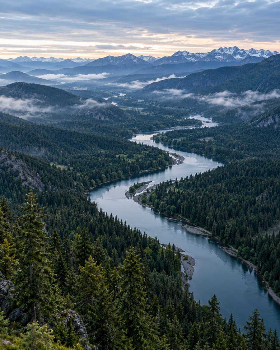
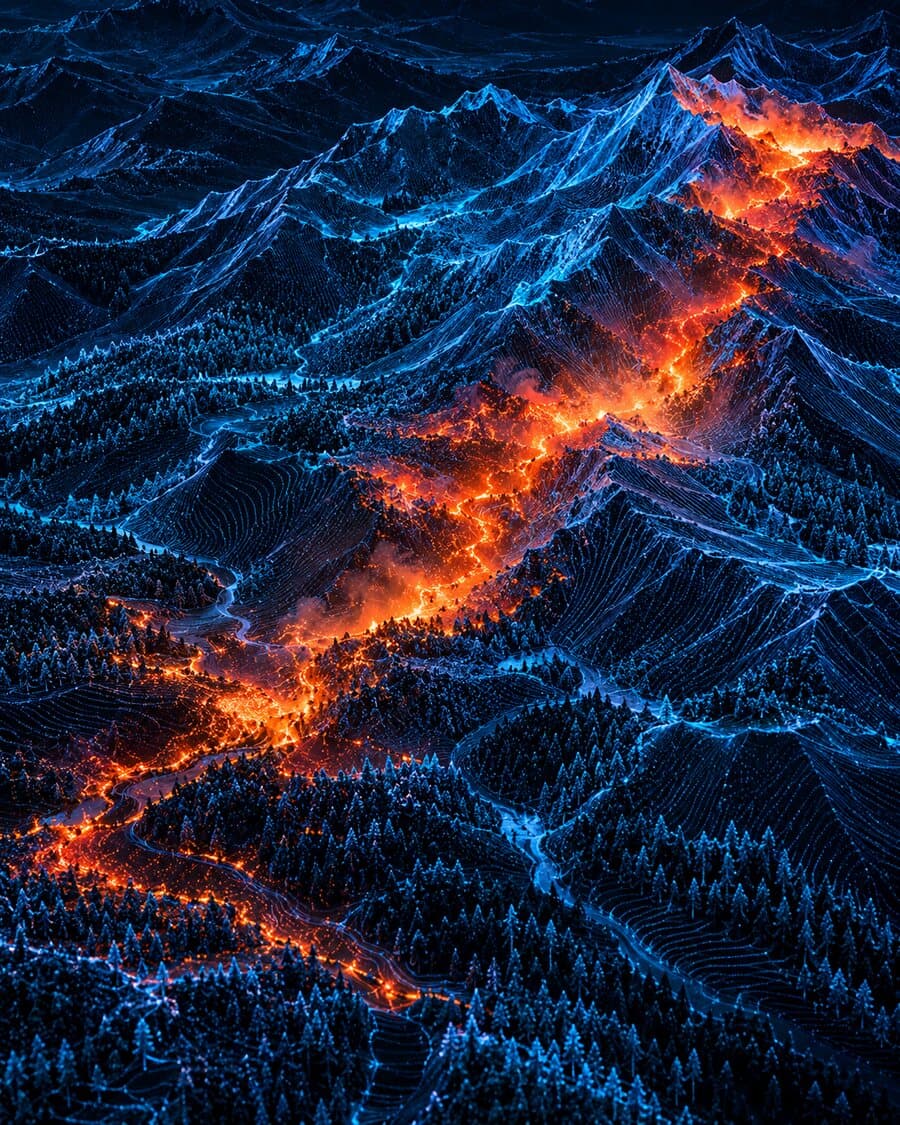
- See: Cameras capture what is visible.
- Measure: Sensors measure what is happening.
- Understand and predict: LION turns data into foresight.


Turn today’sdata into asafer tomorrow.
See how LION can help your organization reduce risk, protect assets and make faster, smarter decisions.
- Real-world data.Real decisions.
- Built forcritical infrastructure.
- Trusted by insurers,utilities, forestryand government.